High altitude mountain hiking in Thailand
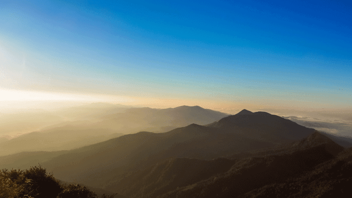
Khao Mokoju
Thailand is a country par excellence for hiking. Walking is healthy. According to scientists, it is even the best form of exercise. Walking is also good for stress. I do it myself a lot in Pattaya, with the Pratumnak Hill being the high altitude for me.
Real mountain hikers naturally turn their noses up at this. They are looking for, equipped with special hiking clothes and shoes, backpack and so on, the challenging hikes. From the website of BK Thailand I picked a number of mountains (with photos) for them, which can be a lot of fun for mountain hikers.
Khao Mokoju, Kampaeng Pet
This mountain with a peak of 1964 meters, is located in Mae Wong National Park in Kampaeng Pet Province. It is not the highest mountain in Thailand, but certainly not suitable for the inexperienced mountain hiker. Trekking trips of up to 5 days are possible in this park.
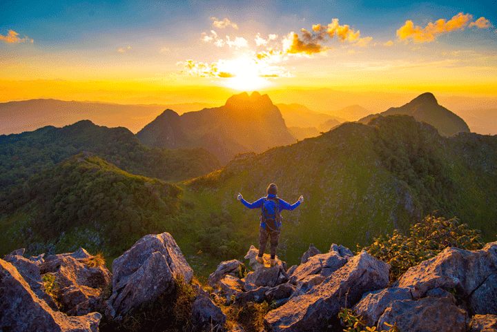
Bye Chiang Dao
Doi Chiang Dao, Chiang Mai
Located in a beautiful area with multiple attractions, this mountain is the third highest peak in Thailand at 2175 meters. The top can be reached in 5 hours for the experienced hiker, but it is recommended to make the trek up in two days. There are no facilities at the top, so sleeping bag, food and drinks must be brought by the trekkers themselves. More information at: wikitravel.org/en/Chiang_Dao
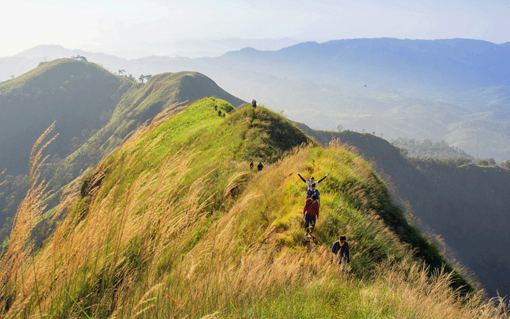
Khao Chang Puak
Khao Chang Puak, Kanchanaburi
At 1249 meters above sea level, this mountain seems quite tame, but high enough to raise the adrenaline level. It is not for nothing that it is nicknamed San Khom Meed (knife cut). The trek starts in the village of Etong and is 8 kilometers long to a campsite. Count on 4 to 5 hours of climbing. From there you can go further up to the top, but the path to it is narrow and not entirely without danger. More information on www.kanchanaburi.co/specific-place/khao-chang-phuak
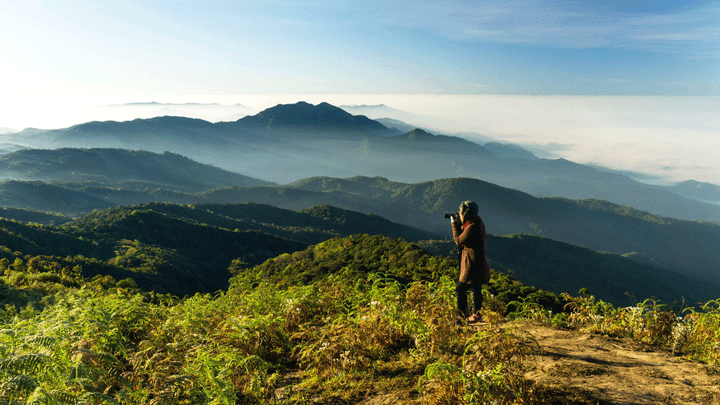
Doi inthanon
Doi Inthanon, Chiang Mai
This is the highest mountain in Thailand at 2565 meters. Located in a beautiful national park, but not really spectacular for mountain hikers, because the top can be reached by car. There are some hiking trails, including the 3km Kew Mae Pan nature trail. Walking along this route, where a guide is mandatory, is like walking on clouds. Also see: www.thailandblog.nl/bezienswaarden/nationaal-park-doi-inthanon en www.thainationalparks.com/doi-inthanon-national-park
Bye Phatang
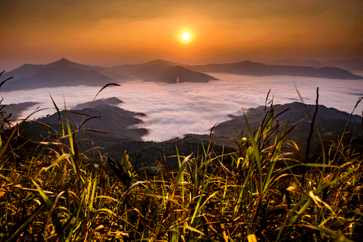
Doi Phatang, Chiang Rai
You will find this 1638 meter high mountain right on the Thai border with Laos. This place is known for its spectacular sunsets and sunrises. Don't forget to check out the "Gateway to Asia" rock. A spectacular rock formation, which was literally used by spies and soldiers to cross the border during the Cold War. Hiking trails are available from the top. For more information, see e.g
www.chiangraibulletin.com/2013/04/08/doi-pha-tang-hidden-paradise-in-chiang-rai
Phu Chi Fah
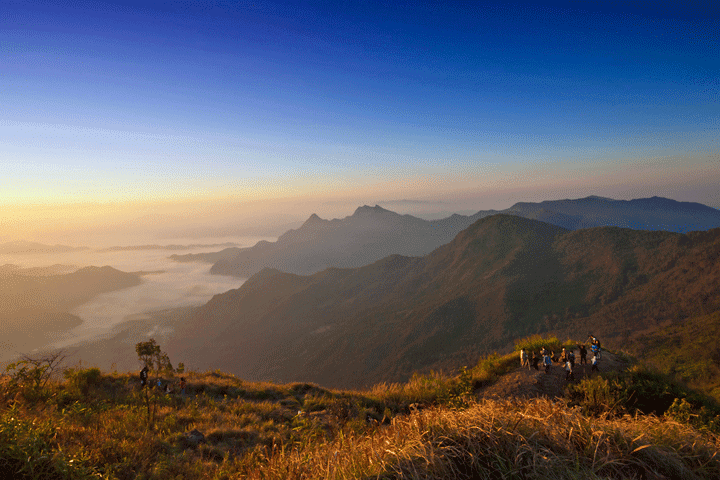
Phu Chi Fah, Chiang Rai
It could be the little sister of Doi Phatang as this 1442 meter high mountain is only 25 kilometers from the above mentioned Doi Phatong. At the top a magnificent view over Laos with an almost endless horizon. If you are there during sunrise, you get the feeling that you are really on the roof of the world. Sunrise is the best time to visit, when you feel like you are truly on top of the world. For more information, see:.www.discoverythailand.com/Chiang_Rai_Phu_Chi_Fa_Forest_Park.asp
Phu Kradueng
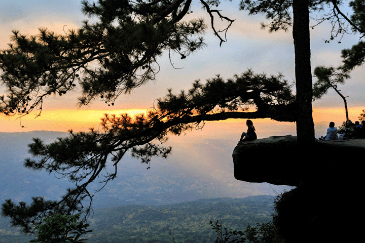
Phu Kradueng, Loei
Phu Kradueng National Park is perhaps the most popular park in Thailand. The summit is at 1316 meters, which can be reached via a walking route of 5,5 kilometers. Takes roughly 3 to 4 hours to get to the top via a not too difficult hiking trail, beautiful viewpoints and places to rest for food and drink at just about every kilometer. For more information, see e.g
www.lonelyplanet.com/thailand/loei-province/phu-kradung-national-park
Phu Soi Dao
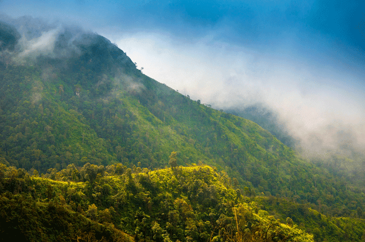
Phu Soi Dao, Uttaradit
A 2120 meter high mountain, the top of which can be reached via a beautiful hiking trail of one kilometer six. The route leads through pine forests and grassy fields, which turn into seas of flowers at the end of the rainy season. More information (including directions for the walking tour) at:
Source: BK Thailand (http://bk.asia-city.com)


Phu Chi Fah, 'the mountain that points to the sky' is close to my former hometown of Chiang Kham in Phayao. I've been there several times, getting up at 4am and a steep path but up to see the sunrise. Below you can see the Mekong River in Laos. There is now a road almost to the top.
I visited Doi Inthanon a few times, the last time to see sunrise and sunset with thousands of other people. Too busy for me.
Doi Chiang Dao is beautiful. I was there once with a group of people but unfortunately I had to drop out due to calf cramps a few hundred meters below the top. When I drive by the mountain I often brag that I've been on top, but on this one, that was a lie.
I also climbed Doi Pui (next to Doi Suthep) at 1676 meters, a few kilometers from a parking lot…..
Thanks for these tips, I'll put them on my itinerary for my next trip!